

Where is Sa’ada governorate located?
The governorate of Sa’ada is located northwest of the capital, Sana'a, between longitudes 46-47 and latitudes 61-71. It is nearly 243 kilometers away from the capital, Sana'a. Sa’ada governorate is connected to Hajjah governorate and part of Amran governorate from the south, Al-Jawf governorate from the east, and the Kingdom of Saudi Arabia from the north and west. Sa’ada city is the center of the governorate, and Al-Buqa is one of its major cities.
What is the area of Sa’ada governorate?
Its area is about (11,375) km2 distributed over 15 districts.
What is the population of Sa’ada Governorate?
The population of Sa’ada governorate constitutes 3.5% of the total population of the Republic. Its population is (695,033) people, according to the results of the 2004 General Census of Population, Housing and Establishments. (3.67%) is the rate of annual population increase.
What are the districts of Sa’ada governorate?
The governorate is divided into (15) districts according to the last administrative division as follows:
- Al Dhaher District
- Al Hashwah District
- As Safra District
- Baqim District
- Dammaj District
- Ghamr District
- Haydan District
- Kitaf wa Al Boqe'e District
- Majz District
- Monabbih District
- Qatabir District
- Razih District
- Sa'adah District
- Sahar District
- Saqayn District
- Shada'a District
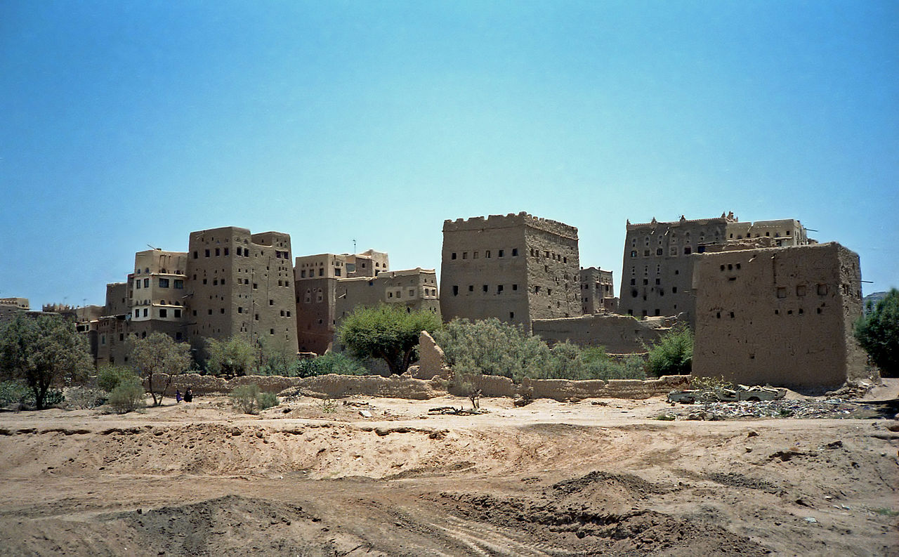
What are the key tourist and historical landmarks in Sa’ada Governorate?
The governorate's tourist attractions are varied, such as: Al-Qishla Fortress, Al-Rajfah Fort, Al-Dhahir Fort, Al-Hadi Mosque, Shadda Castle, and Dahwanu Valley.
What is the climate of Sa’ada governorate?
Its climate varies according to its natural topography. It is moderate in summer, as the temperature ranges between (10-26) and cold in winter, where the temperature ranges between (below zero - 16 degrees).
Sources:
- Central Statistical Organization, 2006
- Wikipedia - National Information Center (Arabic)
- HUMAN ACCESS (Media Center)
- Yemen figures and facts (the National Information Center).
- Results of the tourism survey during the period from (1996-1999)
